Mapping Before Landing: Dynamic and Incremental Photogrammetry with WebODM
PURA UAV Team | Publication Date: July 2026
In a traditional aerial-mapping workflow, photographs are collected during the flight and processed only after the aircraft lands. Although this approach can produce detailed results, it prevents the operator from seeing the mapped terrain while the mission is still continuing.
For our current SUAS system, we developed a dynamic and incremental mapping architecture. Instead of waiting for the entire image set, Pura GCS processes photographs in overlapping groups and progressively displays the generated map sections. At the end of the mission, all images are processed together once more to create the final orthophoto.
Dynamic Survey-Route Generation
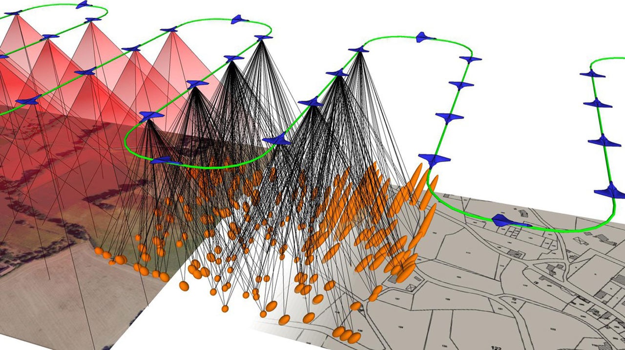
Reliable mapping begins before the aircraft takes off. Using fixed waypoint distances at every altitude can cause insufficient image overlap. Our survey calculator generates the route using the actual camera and mission parameters (16MP Arducam with Sony IMX519 sensor).
The calculation continuously evaluates:
- Sensor dimensions & image resolution
- Lens focal length & flight altitude
- Forward & side overlap settings
- Calculated Ground Sampling Distance (GSD) & ground footprint
Efficient Coverage of the Selected Area
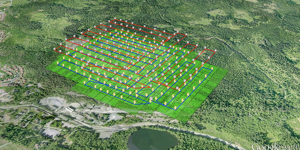
The operator defines the mapping area using geographic corner points. Pura GCS calculates the width and height of the selected region and aligns the survey lines with its longer side to reduce unnecessary turns during the mission. The route is created as an alternating lawnmower pattern and auto-reverses if the UAV is closer to the end point, saving flight time.
Capturing, Geotagging, and Incremental Processing
When reaching survey waypoints, commands are sent to the Raspberry Pi over HTTP. Images are fetched and geotagged immediately with precise EXIF metadata (latitude, longitude, absolute altitude).
Pura GCS continuously monitors the raw-image directory. As groups of new photos arrive, they are bundled with an overlapping slice of previous images (e.g., photos 1–10, then 11–20 + overlap) and sent directly to a locally hosted WebODM server via API to maintain visual feature continuity across batches.
Progressive Map Display & Interactive Tools
As soon as a batch completes, GeoTIFF map sections are overlaid directly onto the live GCS viewer. Selecting pixels on the processed map converts them into real geographic coordinates using Rasterio, allowing operators to instantly send target coordinates back to the aircraft as new flight missions.
Final Full-Map Processing
When the mission finishes, Pura GCS automatically combines all collected, geotagged images into one single WebODM project to compute the final high-resolution orthophoto, giving us both immediate situational awareness during flight and a pristine final map after landing.